Government
Richland County Zoning Committee Weighed Landlocked-Parcel Variance at July 14 Meeting
By Staff · July 17, 2026
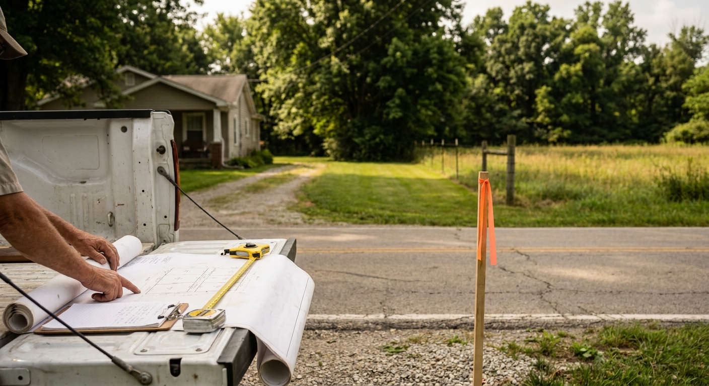
A request to create access to a landlocked Weller Township parcel was among the land-use matters before the Richland County Regional Planning Commission's Zoning Subdivision and Land Use Committee when it met July 14 at 9 a.m. Applications related to the meeting were available for public examination at the commission's Main Street office during weekday business hours, giving residents a chance to review what landowners and developers are proposing before the committee weighs in.
How the Committee Operates
The Zoning Subdivision and Land Use Committee meets on the second and fourth Tuesdays of each month in the commission's conference room at 16 N Walnut Street, Mansfield.
The Richland County Regional Planning Commission serves as an advisory and administrative body that provides recommendations to local governing bodies on zoning, but it holds final decision-making authority over subdivision plats in unincorporated areas. The commission operates under Ohio Revised Code Sections 713.21 and 713.23, which authorize it to provide assistance, advice, and recommendations to local entities. It develops and administers Richland County Subdivision Regulations and reviews plats for compliance.
What the July 14 Committee Considered
The committee considered a variance request by property owner John Lester Hale regarding two parcels at 3695 McNaul Road in Weller Township under Sections 400.2(B), 400.2(C), and 400.2(D) of the Richland County Subdivision Regulations.
Hale's request seeks to create a lot less than 60 feet wide and exceeding the 3.5:1 lot depth-to-width ratio in order to provide access to a landlocked parcel (PP # 0512017413001) by subdividing the adjacent parcel (PP # 0512018408000). Under the subdivision regulations, lots must have a minimum frontage of 60 feet on an approved public right-of-way and must not be more than 3.5 times as deep as they are wide.
To succeed, applicants must demonstrate undue hardship due to unique circumstances peculiar to the property, that a literal interpretation of regulations would deprive them of rights enjoyed by other owners, and that the requested variance is the minimum necessary for reasonable land division.
Who Brings These Applications
Typical applicants for zoning variance and subdivision applications in Richland County are property owners and their authorized agents, which frequently include developers and professional surveyors. Applicants for variances must provide aerials, maps, surveys, plats, and a written justification explaining why the variance is needed.
Zoning applications must be submitted three weeks prior to a meeting date to be included on the agenda, and completed subdivision variance applications must be submitted two weeks before the committee meeting.
How to Review Applications and Participate
Applications for future committee meetings are available for public examination at the Richland County Regional Planning Commission office at 19 N Main Street, Mansfield, OH 44902, during office hours Monday through Friday from 8:00 a.m. to 12:00 p.m. and 12:30 p.m. to 4:30 p.m.
All meetings of the Richland County Regional Planning Commission are open to the public, and the Full Commission holds policy board meetings at least four times annually that include a specific segment for community feedback. Residents can participate by attending in person to provide oral public comment during the designated input period, or by submitting written testimony before the meeting via email to [email protected], by fax to 419-774-5685, or by mail to 19 N Main Street, Mansfield, OH 44902. The commission can also be reached by phone at 419-774-5684.
The commission maintains a Public Involvement Plan that guides how public input is sought and processed.
The next scheduled meeting of the Zoning Subdivision and Land Use Committee is July 28, 2026, at 9:00 a.m. in the conference room at 16 N Walnut Street, Mansfield.
Why These Meetings Matter
With applications available for public review weeks before committee meetings and multiple pathways for submitting comment, the process is designed to let residents catch what's coming before decisions are final. Whether the issue is a single landlocked parcel or a major subdivision that could reshape a neighborhood, these meetings are where informed community engagement can shape growth and planning decisions that affect property values, traffic, and quality of life in Mansfield and Richland County.